Bringing the right data, to the right people at the right time
Unify your data, systems, and workforce in a single platform.
Sitting at the foundation of your asset management, ZynQ has a series of powerful and adaptable tools to streamline processes and enhance productivity.
Our secure, cloud-based software is a sustainable solution that reduces the need to travel, supports remote working, and makes your data truly accessible.
With the trusted data your teams need readily available in a simple-to-use platform, they can extract value and optimise performance.
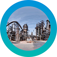
As an industry-agnostic software solution that integrates new and existing visual data, the use cases of ZynQ span an array of assets, projects and sites.
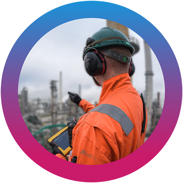
The ZynQ 360 consultative approach is key to our comprehensive understanding of your requirements and fulfilling them safely, effectively and on time.
Maintain data quality, integrity, and security
Intuitive Features
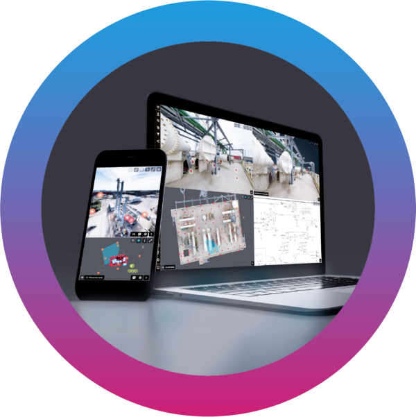
With ZynQ’s unique, four-window design, you can view, manage, and share your data like never before.
User centric design
Host unlimited users, projects and data
Share, manage and host multiple data sources
Easily accessible
Ingest asset and equipment registers
Seamless integration and API’s
Management of change tool
Focus Mode for different user groups
Automatic, geospatial or manual tagging
User centric design
Host unlimited users, projects and data
Share, manage and host multiple data sources
Easily accessible
Ingest asset and equipment registers
Seamless integration and API’s
Management of change tool
Focus Mode for different user groups
Automatic, geospatial or manual tagging
True Value
The ZynQ software provides a robust and secure framework that enables organisations to: