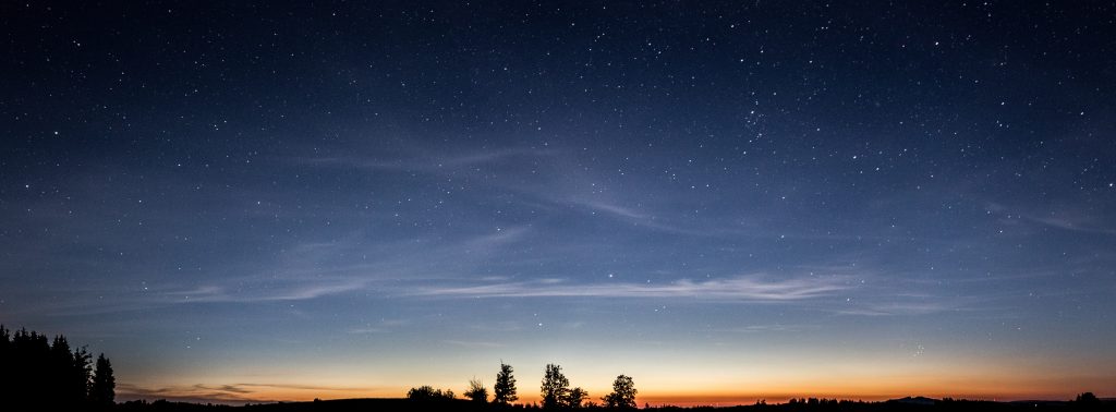
Point clouds are 3D representations of physical space. Think about a starry night sky and the patterns that can be seen composing the constellations. Like the night sky, a point cloud is a construct of individual points in a 3D space. Every point has an X, Y and Z coordinate which gives them their position in the 3D space. Grouped together these points form an overall model which is called a point cloud.
Point clouds will often contain additional data expanding their use cases. A few examples are measurement data, surface reflection properties and GPS data. These are commonly visualised by changing the colour properties of the individual points within the cloud.
How are point clouds created?
Two common methods can be used to create a point cloud. photogrammetry and lidar. They both have their own characteristics, which influence when and where each method thrives.
Photogrammetry
Photogrammetry is the method of extracting measurement data from photography. The core principle was founded in the mid-1800s with the invention of stereo photography but has grown since then.
Modern photogrammetry models work by locating a feature point in a photo and locating the same point in multiple photos. Point cloud software will then proceed to triangulate the feature point on the object. It will then plot the point within 3D space with its respective X, Y and Z coordinates.
The continuous improvement in camera technology has allowed photogrammetry to flourish. The details in photogrammetry point clouds are forever increasing with higher megapixel cameras and sharper optics. This allows software to extract more feature points producing higher fidelity models. As this is a method grounded in photography, a photogrammetry model will automatically have colour information which is excellent for better understanding as-built features within a point cloud.
ZynQ 360 has been at the forefront of photogrammetry advancements as we endeavour to innovate capture methods, giving our clients consistent quality point cloud data.
Lidar
Short for light detection and ranging, lidar uses lasers to create a point cloud. Sophisticated lasers emit thousands of light beams towards the surfaces of an environment. The light beams bounce back towards the lidar device where a receiver will calculate the time taken for the light to return.
Given this information, the systems software can plot the point where the light bounced back as a point in 3D space. lidar is capable of consistently producing highly accurate scans of an environment. However, lidar-based scanning does not receive colour information from the environment. Colour data can be applied to the point cloud later if there are supporting photographs of the scanned environment.
Lidar devices can come in multiple forms. The traditional tripod-mounted laser scanner which can be capable of impressive accuracy is regularly used in the construction industry. Small hand scanners are an option which can be commonly witnessed in the automotive industry to produce models from concept clay sculptures in the car concepting process.
A well-rounded option is Simultaneous Localisation and Mapping (SLAM) devices. These devices can produce accurate point clouds over a large area with a quick turnaround. They are also an excellent option for drone-based scanning.
This gives SLAM the ideal configuration to produce detailed asset overviews.
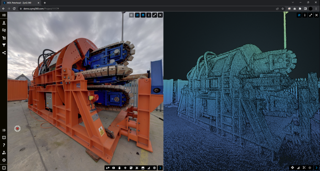
ZynQ 360 offers a custom solution that utilises SLAM to produce accurate geospatial colourised point clouds and a 360° imagery walk-through for high-definition visual context.
What can a point cloud be used for?
Measurement Extraction
As each point within a point cloud is a digital reference of the physical environment, a user can accurately select points for measurement with confidence. Common measurement types such as linear, area, angle and volume measurements can be taken easily within ZynQ’s point cloud viewer.
3D Modelling
As point clouds contain measurement data, they can be an excellent source of information for generating 3D models. The gaming industry makes significant use of photogrammetry to produce accurate models for their built environments. There are large libraries online such as sketchfab.com where you can view and download photogrammetry models. These models are typically generated by software filling in the space between points with polygons to generate a mesh.
Instead of using software to generate a surface mesh, a 3D model can also be produced manually through CAD software. Point clouds are an excellent source of accurate information that can be referenced when producing high quality CAD models of the as-built environment. By extension they are also an accurate way of producing floor plans for an entire asset.
How can ZynQ 360 help you get the most out of point clouds?
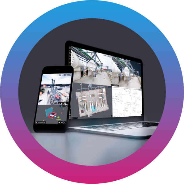
ZynQ 360 offers both Photogrammetry and SLAM scanning to offer the best of both worlds. Our high-fidelity scans are then uploaded into ZynQ, our sustainable and cloud-based visualisation software. A vast array of tools can then be applied to the point cloud allowing you to get the most out of your scanned assets.
Our web-based platform allows easy access, sharing and storage of point cloud data in an intuitive user interface, helping you make the most of your data. Please get in touch to discuss how our innovative solutions can help you.
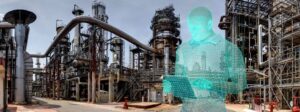
What does ZynQ 360 do?
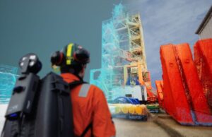
At ZynQ 360, we capture and create a comprehensive digital twin of your asset, delivered within our secure visualisation software, which integrates with your existing data and systems. Providing you and your enterprise with the innovative tools to centralise and streamline your planning and operations. Reducing risk, costs, and environmental impact.

Find out how visualisation could enhance your operations, get in touch here.